- cross-posted to:
- apple@lemmy.ml
- cross-posted to:
- apple@lemmy.ml
Archived version: https://archive.ph/hguLn
Excerpt (and context):
Apple Maps’ offering might surprise people who remember its disastrous launch in 2012, which the Guardian described as the company’s “first significant failure in years”. Users were more than furious – they were lost, sometimes dangerously so. In Australia, police had to rescue tourists from the huge Murray-Sunset national park, after Maps placed the city of Mildura in the wrong place by more than 40 miles. Some of the motorists located by police had been stranded for 24 hours without food or water. In Ireland, ministers had to complain directly to Apple after a cafe and gardens called “Airfield” was designated by the service as an actual airport.
But mostly the map was just glitchy and unhelpful, its directions always a little off kilter. Users revolted and Apple made a rare retreat, allowing Google Maps to be used as the default on many iPhone apps and apologizing for the product.


In the Netherlands, I want to say that Apple Maps is actually better than Google… but only if you’re driving.
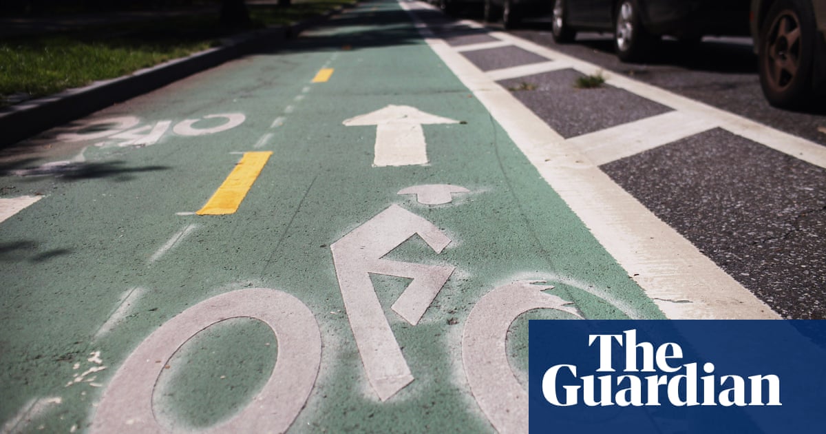
For some insane reason they don’t have biking maps here (or at least in all the places I’ve tried) which is such an enormous blunder.
Try OpenStreetMap for cycling maps, it’s the best for cycling by a mile.
If you want to use it on your phone: OsmAnd app (or Organic Maps)
I was in the Netherlands a couple weeks ago and I really liked using Apple for public transit. I had to open the NS app a few times for some more detailed route info but overall it was a nice experience.
I also had issues with Google’s walking directions having a hard time figuring out where I was and what direction I was going but Apple was fine.
Tbf, I was only there for a week so I might not have had a full experience.
It’s a superior visualisation of public transit routes but otherwise not great.